
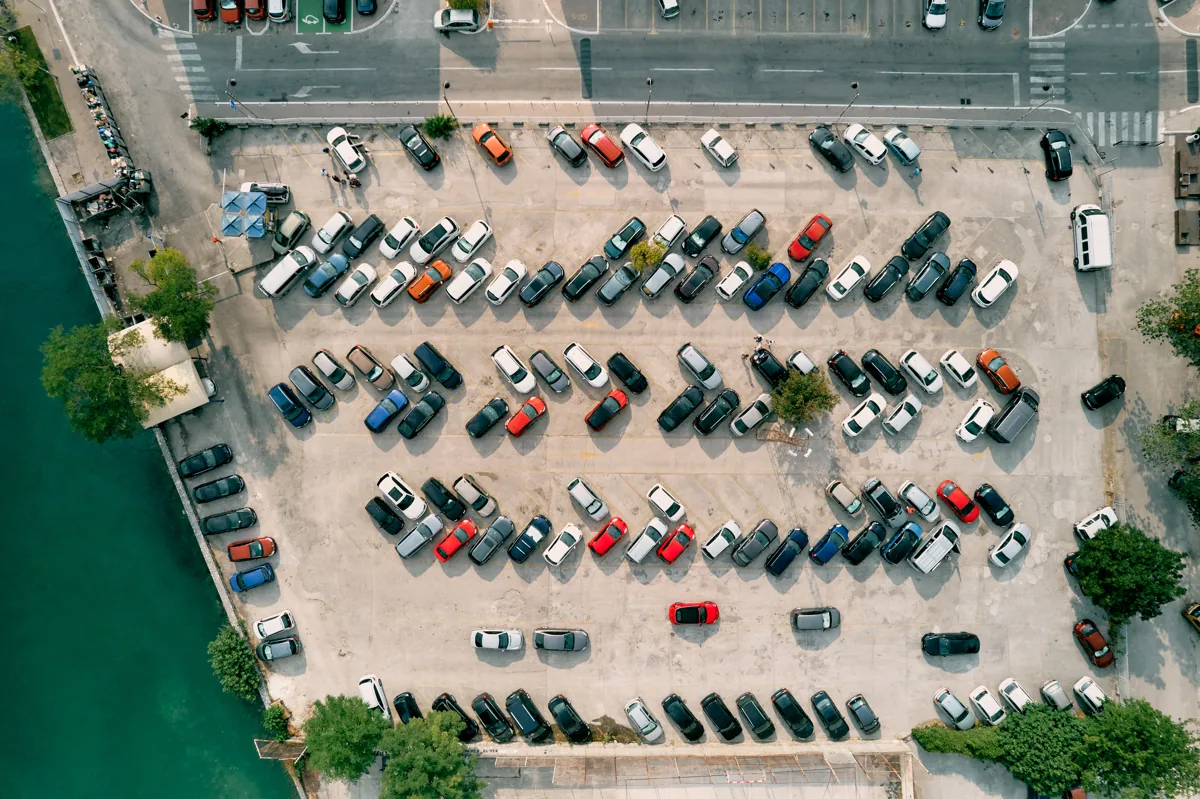
Understand the flows in your monitored areas
Counting at crossing points
Configure lines and zones to count pedestrians, bicycles, or vehicles in the monitored scene. Compare times and locations to identify changes in flow and periods of increased activity.
Tracking and classification
Analyse object movement within the scene and classify flows using the enabled modules. Define the categories and areas you need to observe before evaluating the results.
Vehicle type and colour
Optional type and colour modules add context to observed vehicles. Their usefulness depends on framing, distance, lighting, and the quality of the available video.
Line and zone events
Relate crossings and presence to your project’s areas of interest. Alongside its own analytics, IKFace can receive events from compatible ONVIF cameras, depending on the functions each device exposes.
Applications for roads, entrances, and logistics
Cities and monitored roads
Observe circulation trends at defined points and compare periods. The data helps teams understand the use of public space and prioritise review of areas where activity changes.
Entrances and parking facilities
Measure vehicle crossings at entrances, exits, and circulation areas. Define camera coverage to interpret the flows at the access point you want to monitor.
Industrial and logistics sites
Analyse people and vehicle movements in operational zones. Combine metrics with configured events to support monitoring of entrances, yards, and shared spaces.
How video becomes mobility information
Define the observation point
Select RTSP or ONVIF compatible cameras and define lines, zones, and categories. Assess viewing angles, distance, and both daytime and night-time conditions.
Process at the Edge
Enable the modules needed for each camera and validate counting and classification against the real scene. Size the system for its streams and active analytics.
Review and integrate
Compare metrics by time and location. Centralise monitoring through IKFace Server and connect events to a VMS or third-party systems according to the project.
More context for the monitoring centre
ONVIF integration can use person, vehicle, and line-crossing detections generated by compatible cameras. IKFace receives and processes these events, delivering the available context to platforms such as Genetec Security Center, Nx Witness, or VIVOTEK VSS.
As a complementary source, the Waze module retrieves accident, congestion, and other incident reports. It filters by type, reliability, and age, then correlates locations with monitored points. It can generate Genetec alarms with associated video when a linked camera is available. An account and an authorised Waze for Cities feed are required.
Integrations that add operational context
Traffic analytics questions
Does the solution work indoors and outdoors?
Yes, with validated cameras and scenes. Distance, lighting, perspective, and occlusions affect results. Evaluation should include actual conditions in each area and the relevant operating hours.
How do native analytics differ from ONVIF events?
With native analytics, IKFace Edge processes video using its enabled modules. With ONVIF event integration, the camera generates the detection and IKFace receives, adds context to, and distributes the event.
Do I need Waze to count vehicles?
No. Counting comes from the configured video analytics. Waze supplies external incident reports as an additional monitoring source, subject to Waze for Cities terms and availability.
Can I keep my VMS?
IKFace can deliver events and context to compatible platforms or API integrations. The scope is validated for the project’s VMS, cameras, and event types.
Evaluate mobility at your points of interest
Request a 30-day trial and define the flows, categories, and locations you need to observe. We will validate cameras, modules, and integrations for your scenario.
Request a 30-day trialExplore another solution: People and space analytics →